Dixie ButteSnowshoeing Eastern Oregon
Dixie Butte - a 7,500' peak with a road to the top. Sound boring? Try it in the winter. What may otherwise be a slog up a dusty double track becomes a trek through a peaceful and empty forest. And don't let the height fool you - once you break above treeline you're treated to views often reserved for peaks with 5-digit elevations.
Dixie Butte, OR
VITAL STATS - L/10MI - V/2,600' - E/7,592' - P/2,412'

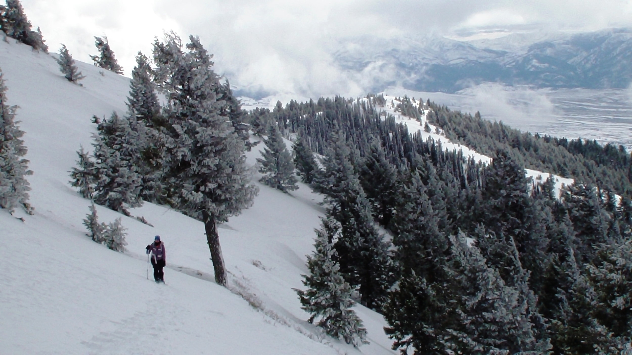
On the trail to Dixie Butte. The forest is very scenic on the hike up.
Our experience on this mountain was great. We hiked this as a part of a weekend at Sunshine Guard Station and had the pleasure of spending the day with our good friend and avid hiker Larry.
The day started really cloudy and stayed that way all day. Near the summit, however, we reached a layer between the broken lower clouds and the thick upper clouds. Because Dixie Butte stands so tall above anything nearby, the view is much better than the prominence and elevation might suggest. The wind at the top was pretty fierce though, and forced us off shortly after we got to the summit.


Driving Directions:
From exit 374 of I-84 in Oregon, head south on OR-201 to it’s junction with US-26. Take US-26 west to Vale, then turn right to continue on 26 where it becomes the John Day Highway. Stay on 26 all the way to Vale. In Vale, head north on OR-26 and continue for ~93 miles to Dixie Summit. There are signs at the summit. We parked at on the south side of the road to avoid paying for the snow park (we're so damn cheap) and didn’t have any problems.
Click for a bigger picture.
Hiking Directions
From Dixie Summit, hike up the hill on the north to the ski area (now closed). Head up the road past the ski hill and buildings. We had no problem following this road all the way to treeline. There are some intersections but the main road is clear the entire way. At treeline, make your way around the southern sub-peak (or over it if snow conditions aren’t stable). At the high saddle the road became unclear so we climbed the short slope straight to the top.
Explore More
Snowshoeing: Nip Benchmark (ID), Smith Creek Falls (ID),
Eastern Oregon Hikes: Sacajawea Peak (OR), Sunshine Cabin (OR), Leslie Gulch (OR)